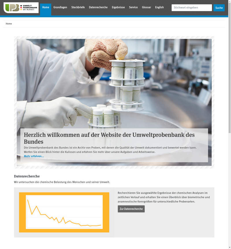
Copernicus Satellitendaten

Copernicus Satellitendaten

“Das Europäische Copernicus Programm liefert Erdbeobachtungsdaten für den Umweltschutz, zur Klimaüberwachung, zur Einschätzung von Naturkatastrophen und für andere gesellschaftliche Aufgaben.”

Open Data Portal der Bahn
OpenStreetMap

OpenStreetMap

Projekt zur Schaffung einer freien Weltkarte. Enthält außerdem sehr viele unterschiedliche “Tags”, über die man thematische Geodaten abfragen kann.

govdata.de - Datenportal für Deutschland
Figshare

Figshare

“figshare wants to open up scientific data to the world” - figshare is a repository where users can make
all of their research outputs available in a citable,
shareable and discoverable manner

Open APIs from Space
FloraWeb - Daten und Informationen zu Wildpflanzen und zur Vegetation Deutschlands
GBIF - the Global Biodiversity Information Facility
Das Deutsche Klimavorsorgeportal
Das Geodatenportal des BSH

Das Geodatenportal des BSH

Das GeoSeaPortal ist der zentrale Einstiegspunkt in die Geodateninfrastruktur des Bundesamt für Seeschifffahrt und Hydrographie (GDI-BSH) für interne und externe Nutzerinnen und Nutzer.

Mobilitätsdatenmarktplatz "MDM"
Open Library

Open Library

“Open Library is an open, editable library catalog, building towards a web page for every book ever published.”, and all the data is available as a big file to download.

Die Linkliste für Datascience, Datenvisualisierung und Open Data.